Project Details
- ClientMinistry of Municipality and Environment
- Year2014-2017
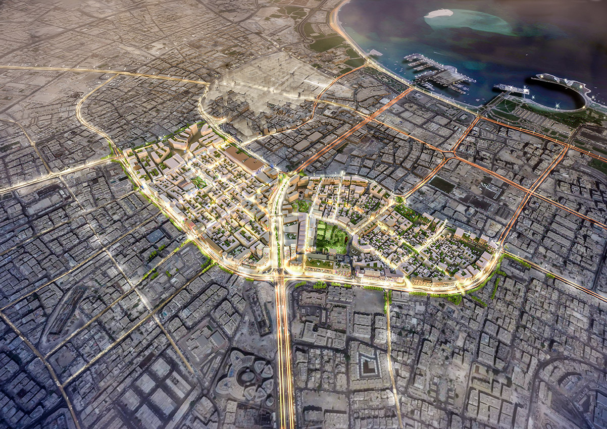
- LocationDoha, Qatar
- Project Area89 hectares
- Design ArchitectMakower Projects
- Previous Project ScopeUrban Modelling and Analysis
Dynamic visualisation of regulations
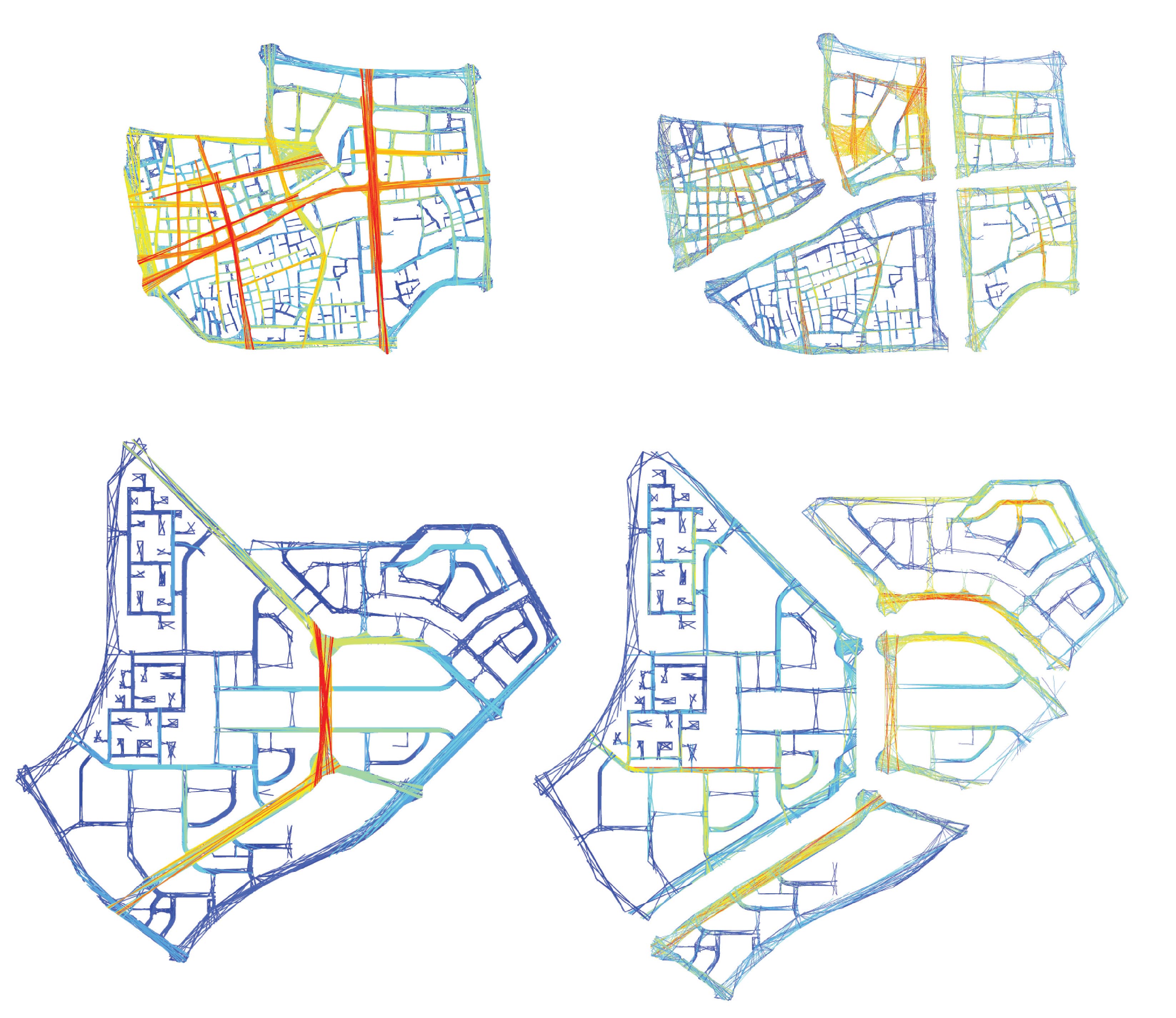
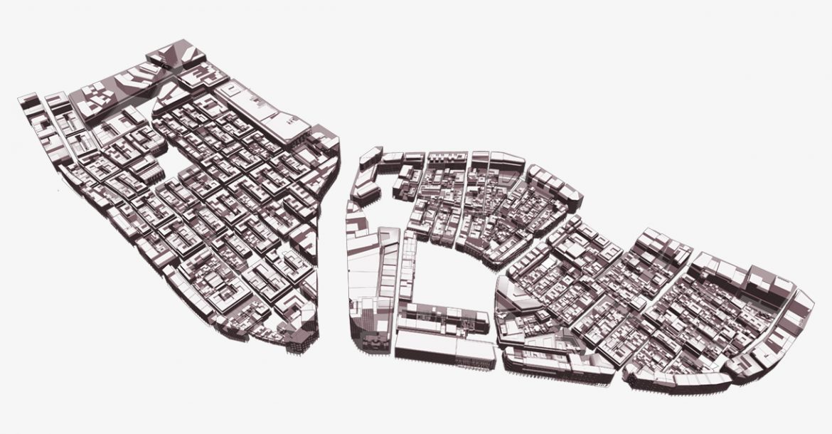
During the preparation of zoning regulations for Zones 15 & 16, parametric 3D modelling of the city form was undertaken in ESRI City Engine to apply zoning regulations to the desired area. Python scripts were used to determine setbacks, heights, coverage, arcades and openings on the basis of zoning, landuse, plot location & historic value. Changes in zoning regulations were dynamically visualised and data driven plot sheets were generated per plot describing the zoning regulations.

Project lead and completed by ARRUS’s team, while at Makower Architects.