Project Details
- ClientQatar Tourism Authority
- Year2019
- LocationKhor al Udaid, Qatar
- Project Area350 Sq km
- Design ArchitectArab Engineering Bureau
- Arrus’s RoleGIS Consultant
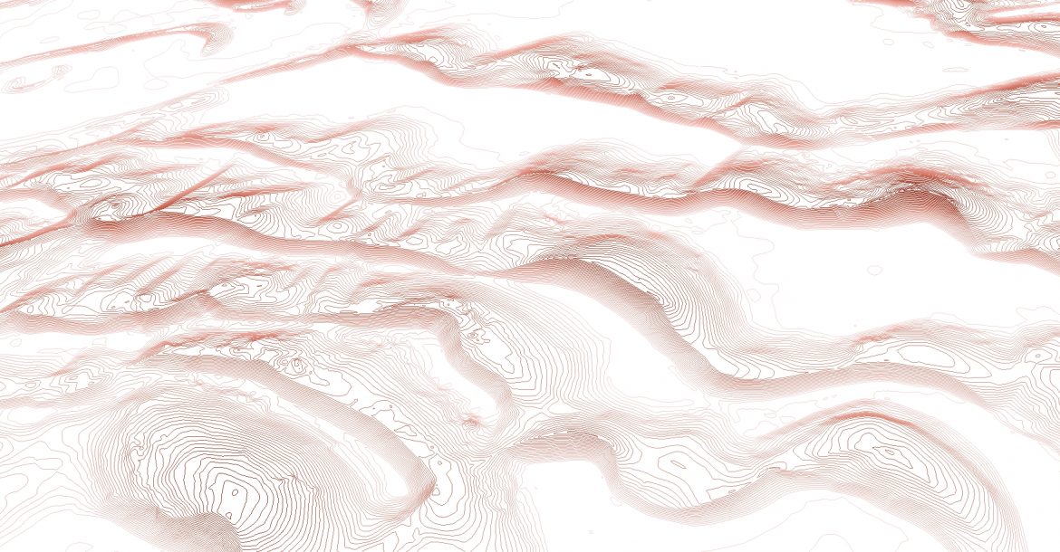
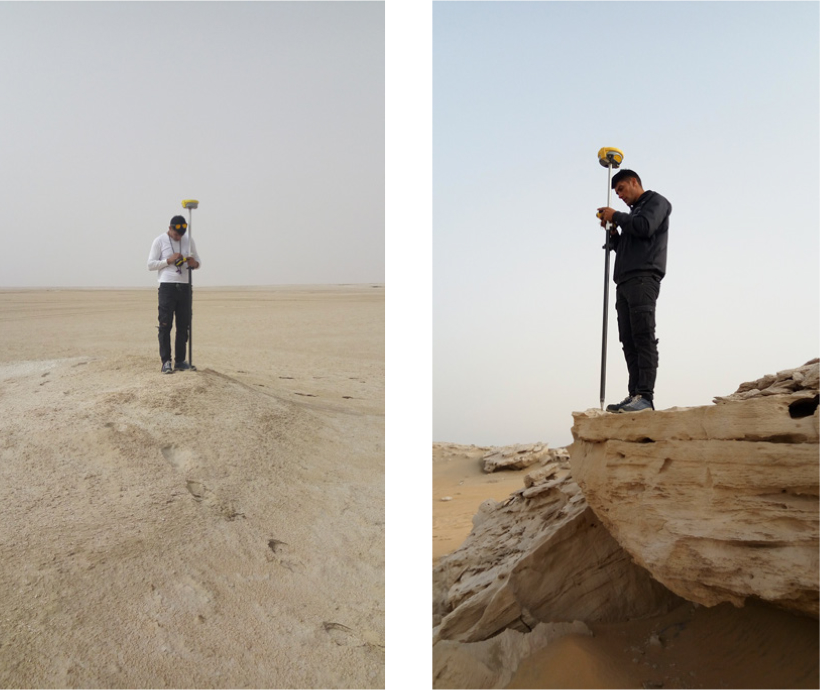
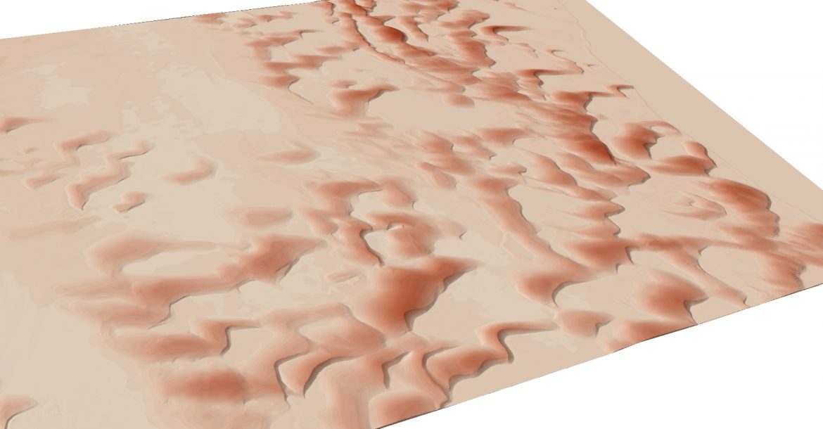
As a pre-cursor to a masterplan project in the sand-dunes of Khor al udaid, ARRUS were required to prepare a 3D model of a 350 square kilometer area. Due to the difficulty in physically surveying such a large area, a site model was prepared from high resolution satellite imagery using photogrammetry techniques.
These methods help in creating detailed site models using limited base information about the site. 3D Models usable in CAD and GIS, in addition to contours for the area were prepared.